
I am currently attending the REDAS Software training by PHIVOLCS & representing Iloilo City together with Ma’am Donna Magno of the City Disaster and Risk Reduction Management Office. It is already Day 3 as of this posting but I’d just like to add here the notes I have taken on the first day of the training workshop just so for backup purposes and future reference.
Mainstreaming Disaster Risk Reduction into the Local Development Process, Contingency Planning and Emergency Preparedness through the Use of the REDAS Software for Luzon and Visayas LGUs
Dates: April 16-21, 2018
Day 1 – Introduction
1. REDAS Pre-training assessment
2. Seismicity of the Philippines
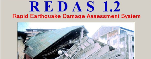
3. REDAS 1.0
4. Recent REDAS Modules
5. HAZUS
6. SWIFT and FLOAT modules
7. REDAS ToSIR in Android Devices
REDAS Training Grading System
Attendance 30%
Land use 15%
SHA 20%
EDM Survey 20%
Volunteerism 20%
Lecture 1
Cartography – definition, uses
Maps – basics, elements, coordinate system, projection, maps in REDAS, types of maps, contour lines
Geographic Information System – definition, applications
Google Earth
Lecture 2 – Earthquake and Earthquake Hazards
Renato U. Solidum, Jr. DOST-Philvolcs
Types of Earthquake (Volcanic, Tectonic)
Plate tectonics
Earthquake activity in the Philippines – active faults, trenches
Magnitude, intensity estimation
Disaster losses
Goals of DRRM – reduce losses, ensure effective & efficient response, recover fast and build better.
Disaster imagination
Key actions for DRR – identify hazards and risks, monitor, warn and disseminate information, respond properly and timely
Earthquake-related Hazards
Faults – fractures where rock movement has taken place and earthquakes have been produced.
– Active faults are those that moved in the last 10,00 years.
Strike slip, Normal, thrust-reverse
Valley Fault System
Phivolcs Fault Finder – hazard and risk information through web application.
URL: faultfinder.phivolcs.dost.gov.ph
Earthquake hazard – Ground Shaking
Strength of Earthquake: Magnitude – energy released during the earthquake event.
Intensity – effect or felt strength at the surface
PHIVOLCS Earthquake Intensity Scale (PEIS) – ranks from I to X
Liquefaction – loose, water-rich sediments behave like liquid during strong ground shaking.
Liquefaction prone areas – water-saturated, low-lying
Landslide
Tsunami – natural signs of an impending local tsunami
Tsunami scenario
PHIVOLCS Geo-Portal – a web GIS-base portal, enables the public to view and collate hazard and risk maps.
Earthquake Preparedness and Risk Reduction activities
Volcano – classifications: active, potentially active, inactive
Volcanoes formed from divergent/convergent plate boundaries.
Subduction Zone (Arc) Volcanism – origin of Philippine Volcanoes
Volcanic hazards – Ashfall, lava flows, pyroclastic flows, lahar
Lahar – Flowing thick with mixture of volcanic sediments and water triggered by rain.
Volcano Risk Reduction – monitoring and hazards mapping, land use plan, avoidance/evacuation.
Volcano monitoring – with various devices/system.
Visual and other sensory observations.
Volcano Alert Level Scheme
Afternoon – REDAS Software installation
Software preliminary setup, requirements and installation.