
Two weeks ago, a researcher from Project GUHeat contacted our office regarding a new data-gathering survey. the Geospatial Assessment and Modelling of Urban Heat Islands in Philippine Cities aim to assess the development of urban heat islands in rapidly urbanizing and highly urbanized cities in the country and develop models for estimating land surface temperatures (LST) and predicting urban heat islands (UHIs) by relating LST with environmental factors including land use.
The project is funded by the Department of Science and Technology (DOST) – Philippine Council for Industry, Energy and Emerging Technology Research and Development (PCIEERD). It is implemented by the UP Training Center for Applied Geodesy and Photogrammetry.
To find ways to mitigate the harmful effects of rising temperatures, they are assessing the development of urban heat islands in rapidly urbanizing and highly urbanized cities in the Philippines using satellites and modeling-simulation techniques.
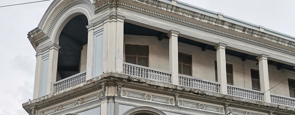
The scheduled survey is on the building and vegetation annotation, which will check on the building footprint, materials used, and location. The areas covered were JM Basa street in the Calle Real area and the Iloilo River Esplanade numbers 1 and 2. The data gathered will then be used for the micro-climate modeling of two sub-sites, a central business district and a linear park along the river.
While doing the survey, I took the time to take some pictures of the buildings and here are some of them below.